The journey leads
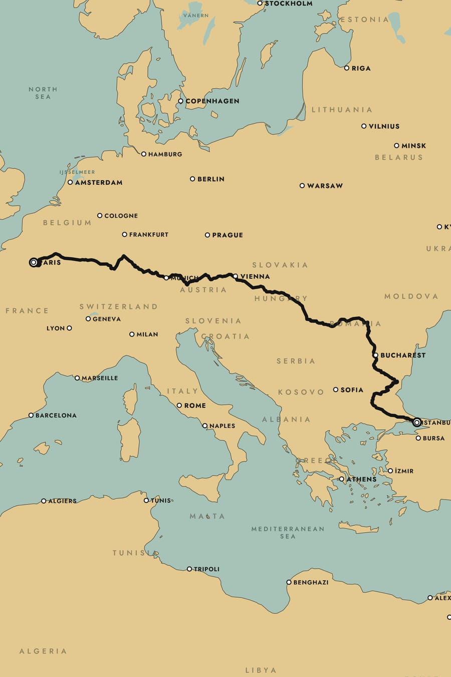
The route is the subject. The map gives it a place and steps back: soft land, quiet roads, names that make room. Routes now run under place names, never through them.
A new look for every journey
Twelve maps: nine drawn by us, each with its own palette and type, and three from space. A calmer, paper-like panel. And a share image for every map. This is the design of v2, from the first principle to the last pixel.
01Principles
Every decision in v2 goes back to one of these. When two choices compete, the one that keeps the journey in front wins.
The route is the subject. The map gives it a place and steps back: soft land, quiet roads, names that make room. Routes now run under place names, never through them.
The old see-through panel turned orange over Sverige 1931 and yellow over Signal. The new one is an opaque sheet of warm paper with a fine grain. It feels like a real object, and it reads the same over every map.
Web maps usually wear one typeface. Ours don't: each basemap sets the names in the lettering of the maps it comes from, from Inter to Art Deco capitals. The labels belong to the style, not bolted onto it.
02The collection
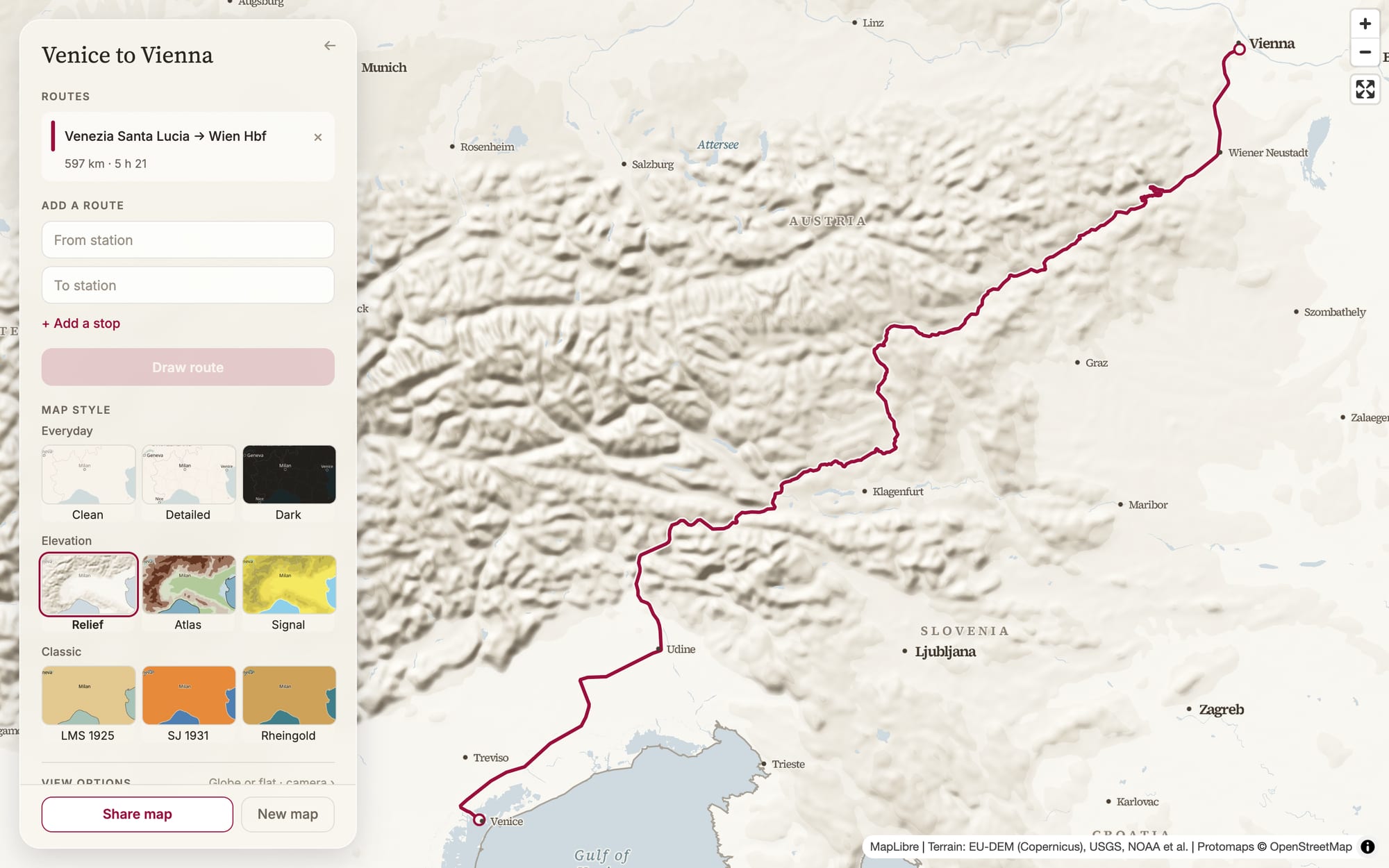
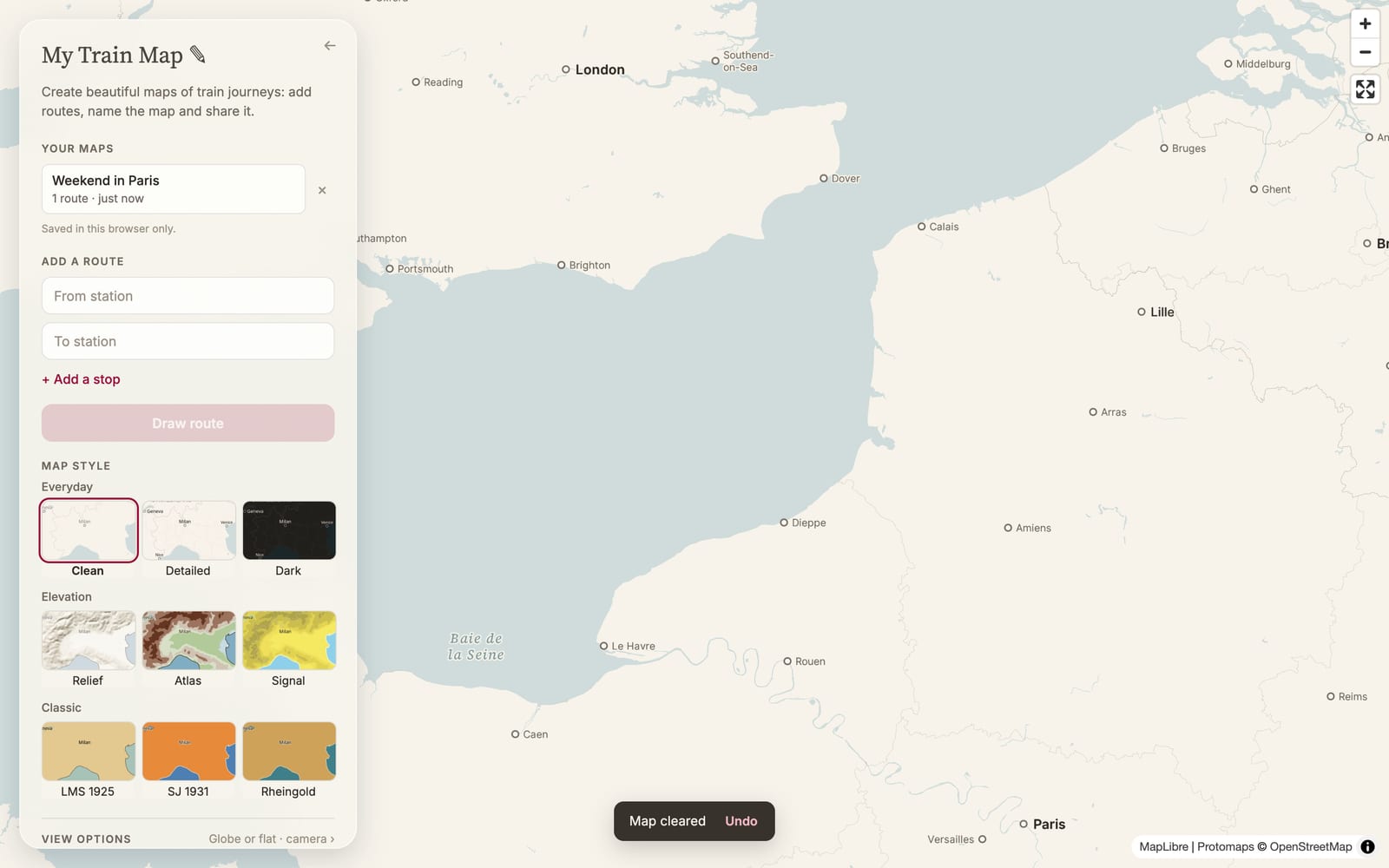
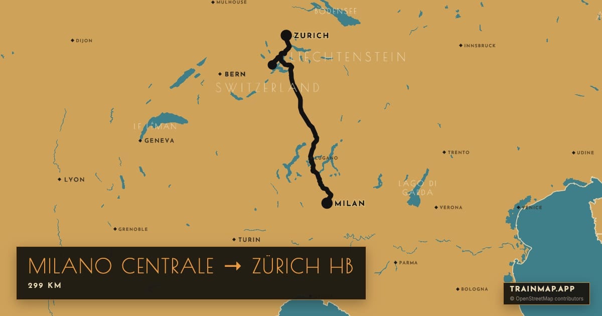
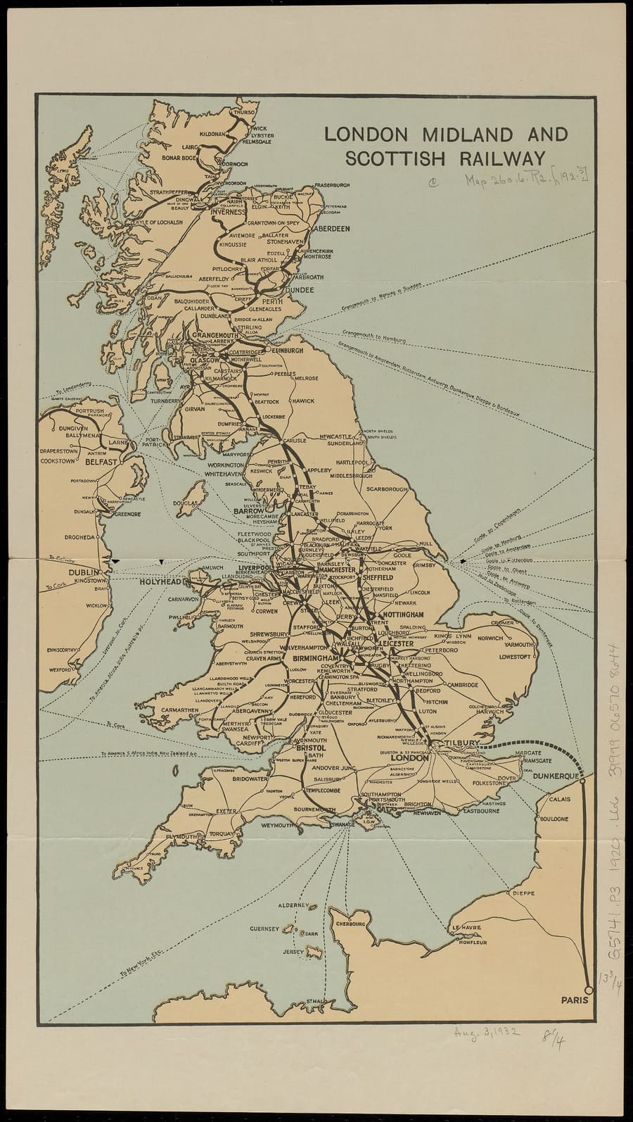
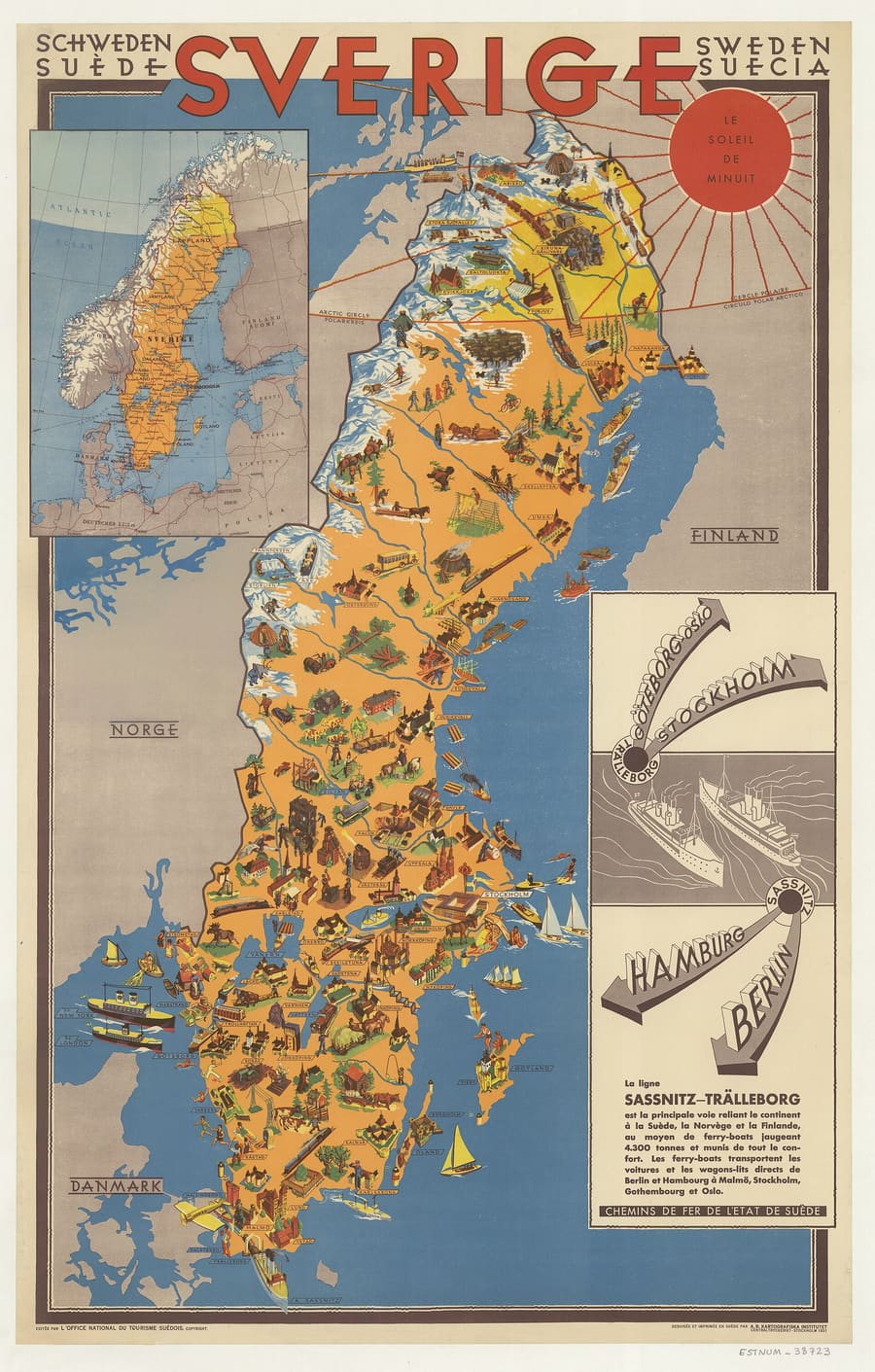
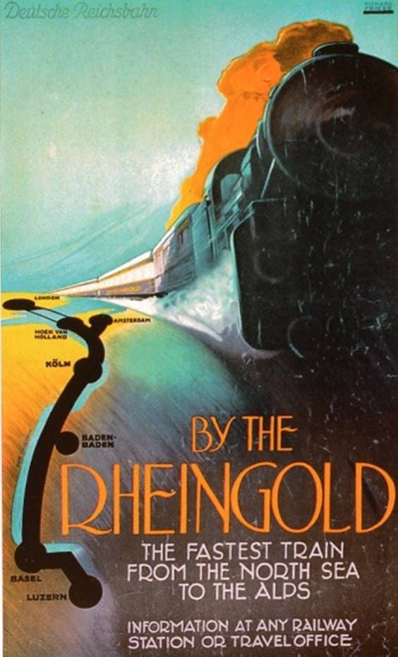
Everyday maps for planning, elevation maps for mountain journeys, Classic maps redrawn from railway posters of the 1920s and 30s, and three from space: the season, the lights at night and the sky as it is now. Try the zoom levels on each one.
03Typography
Each style sets six kinds of name — country, capital, city, town, lake, sea — in its own face, case, spacing and ink. Every one uses the same hierarchy, so you can read any of them at a glance.
04Colour
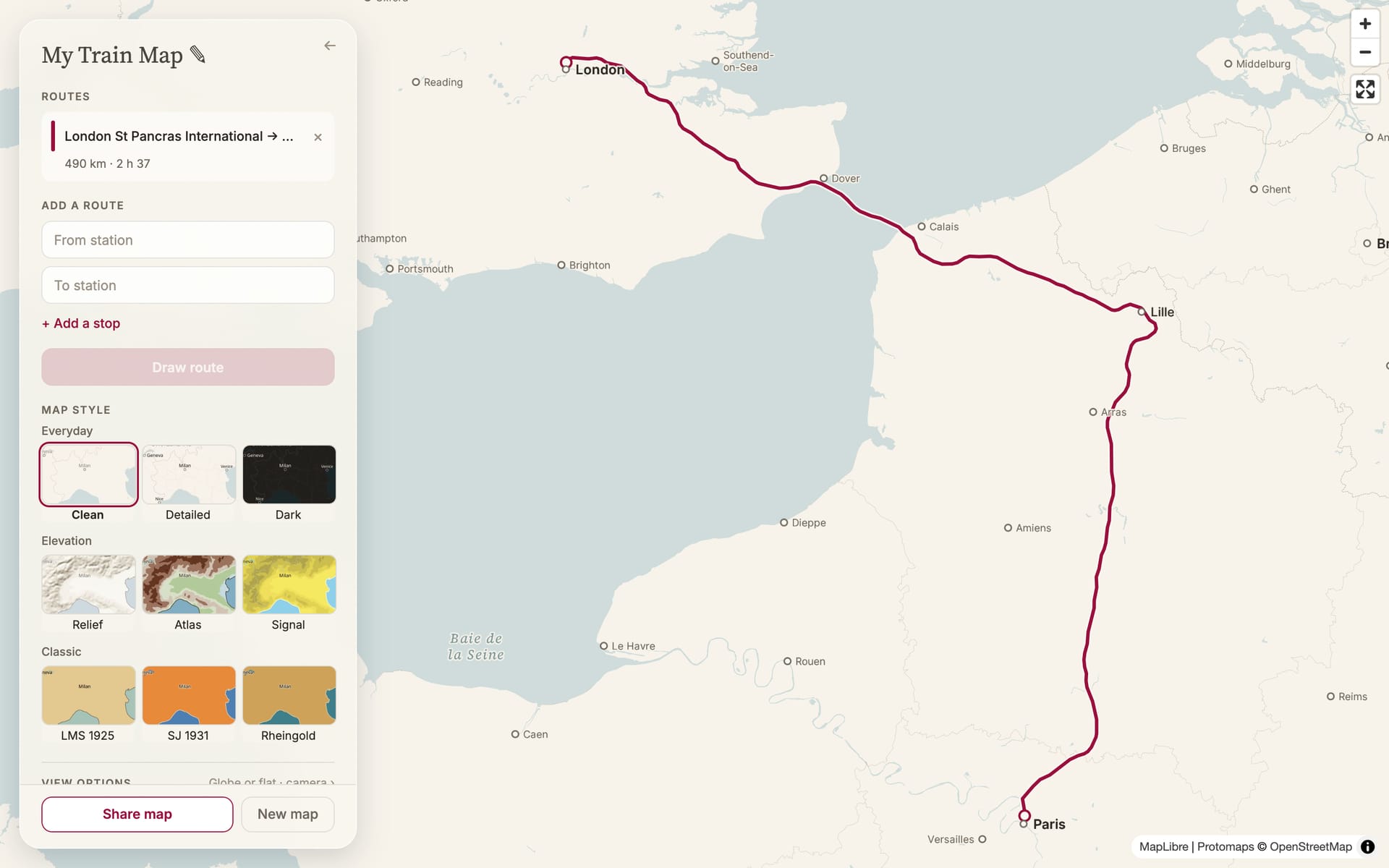
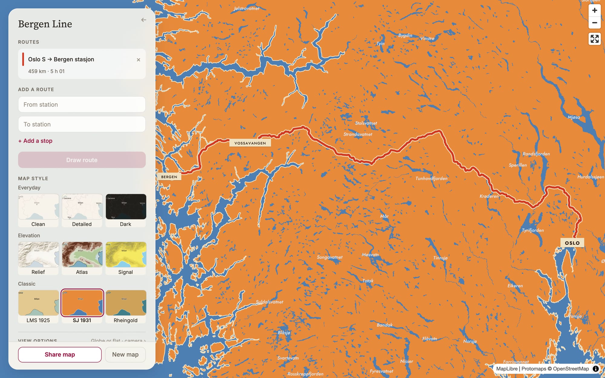
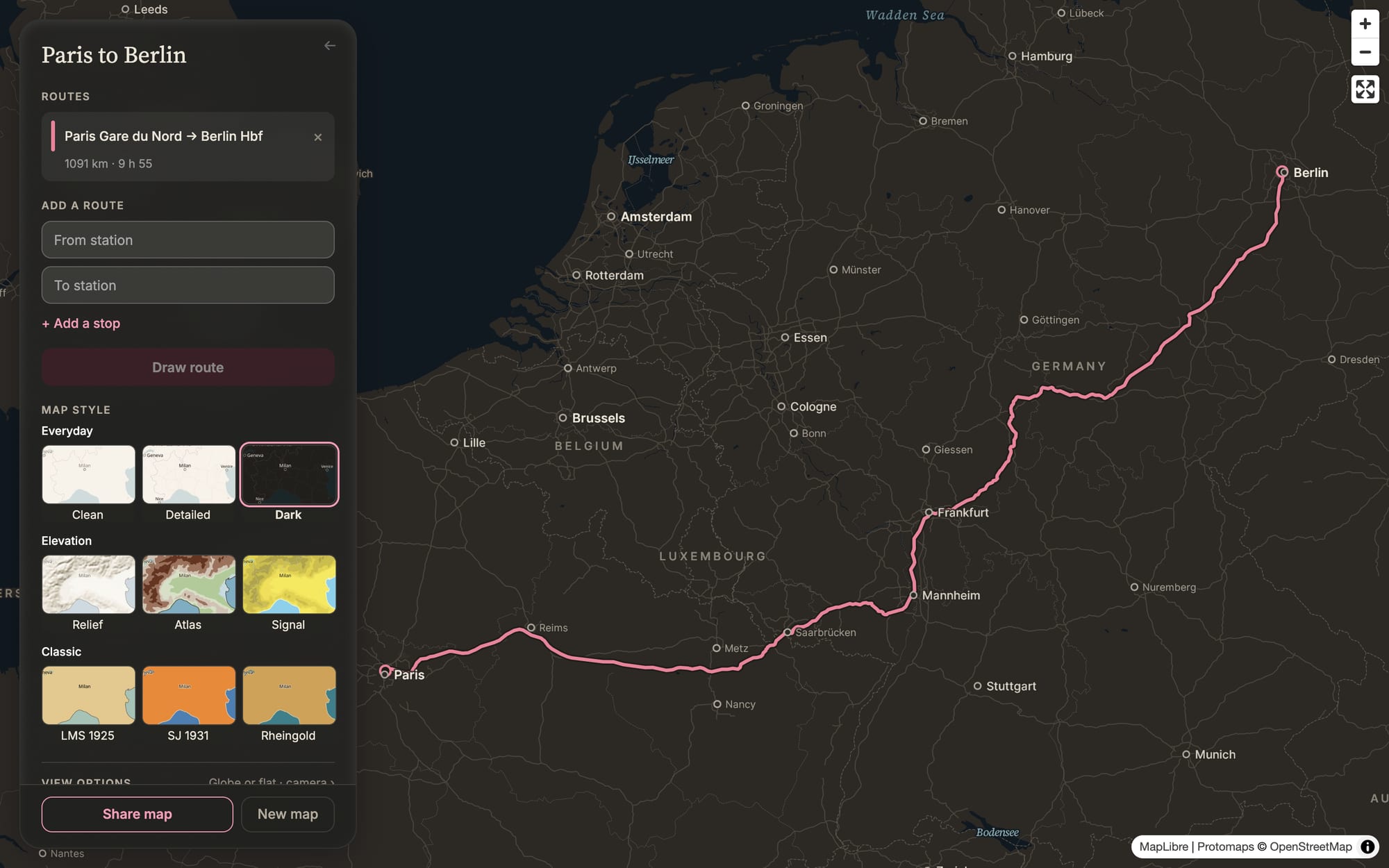
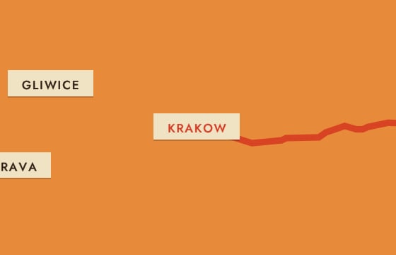
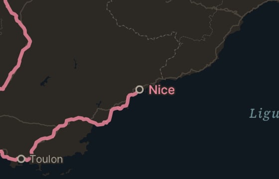
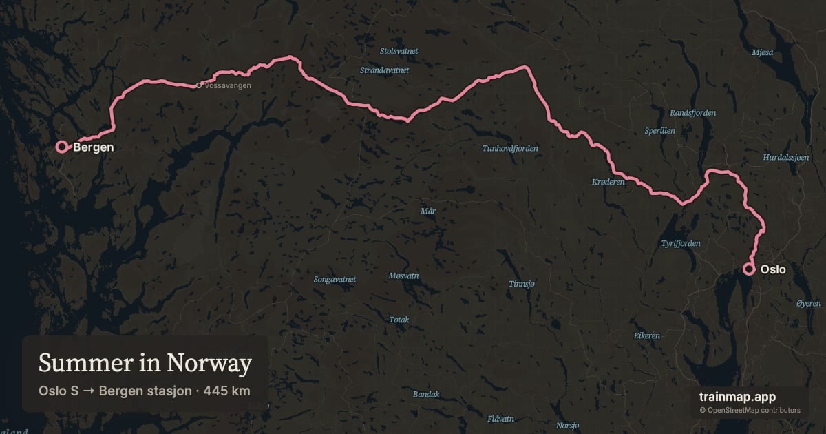
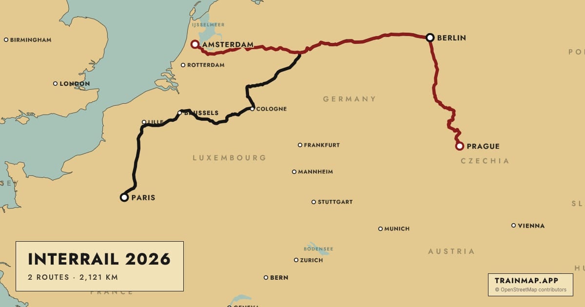
The panel uses warm inks instead of greys. On the paper maps, routes are claret, then a muted sequence. Every other map draws its routes its own way: rose on Dark, black with white beads on LMS 1925, vermilion on Sverige 1931.
Each basemap's land, water and label ink, read from its live style file.
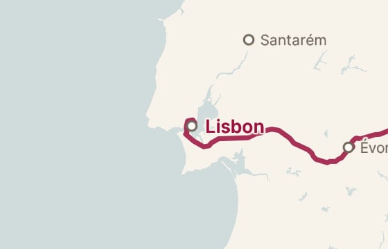
The route is drawn the way each map would have drawn it: claret on the paper maps, rose where claret would vanish on Dark, and the lines of the posters on the Classic three, and a dark edge over the imagery of the three from space, with stop markers to match. Share images carry the same line.
05Layering
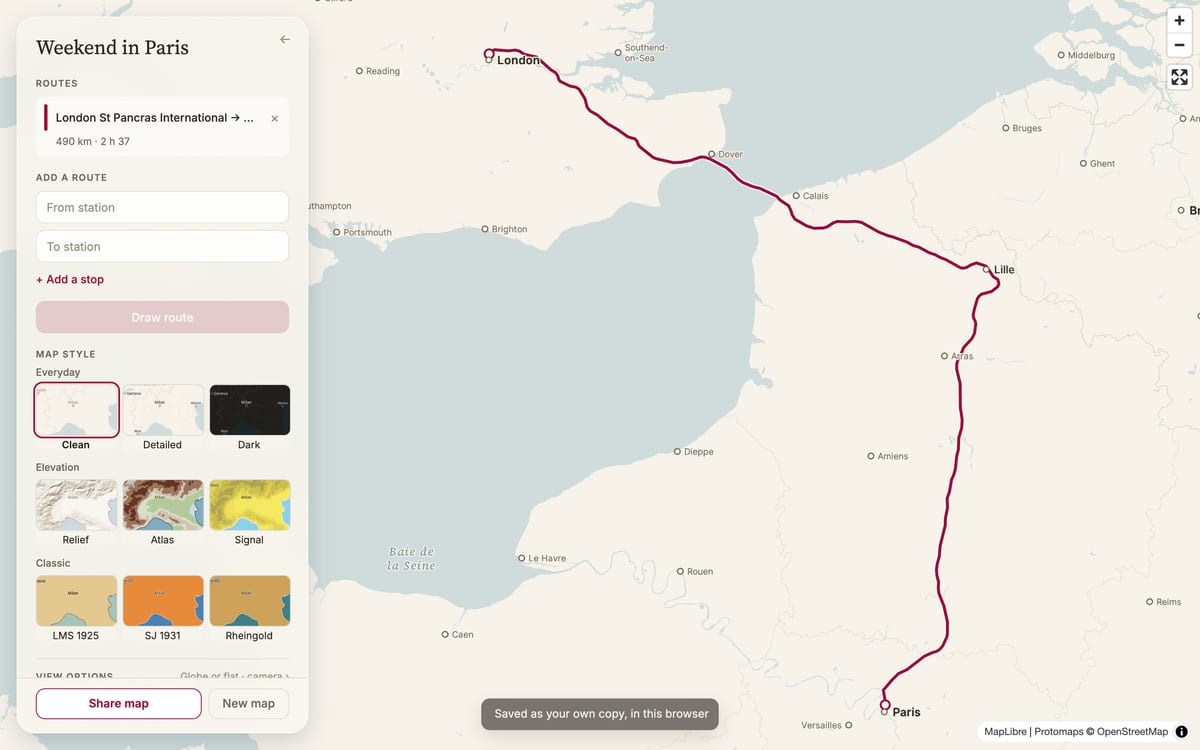
A map is a stack. v2 slides the route in between the land and the lettering, so "Lille" sits on the line instead of being struck through by it. It stays in place when you switch basemaps and while a route is still drawing.
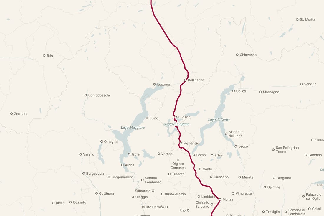
1,224 lakes, ranked by size so the big ones appear first as you zoom in. 868 of them need letters beyond plain English A–Z.
06The panel
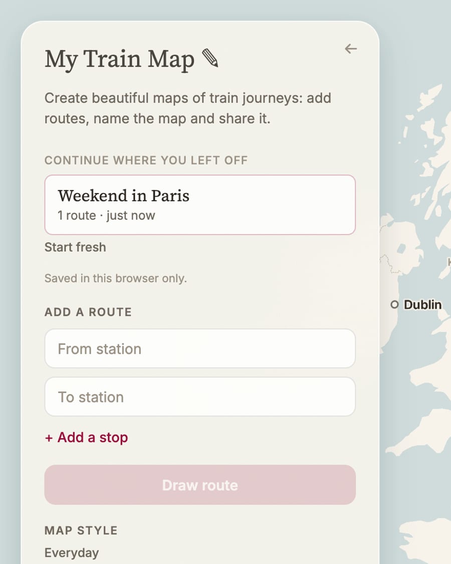
Make a route, choose the look, share it, explore. There's one filled button, map styles are picked by seeing them, and Share stays within reach.
 1
2
3
4
5
1
2
3
4
5
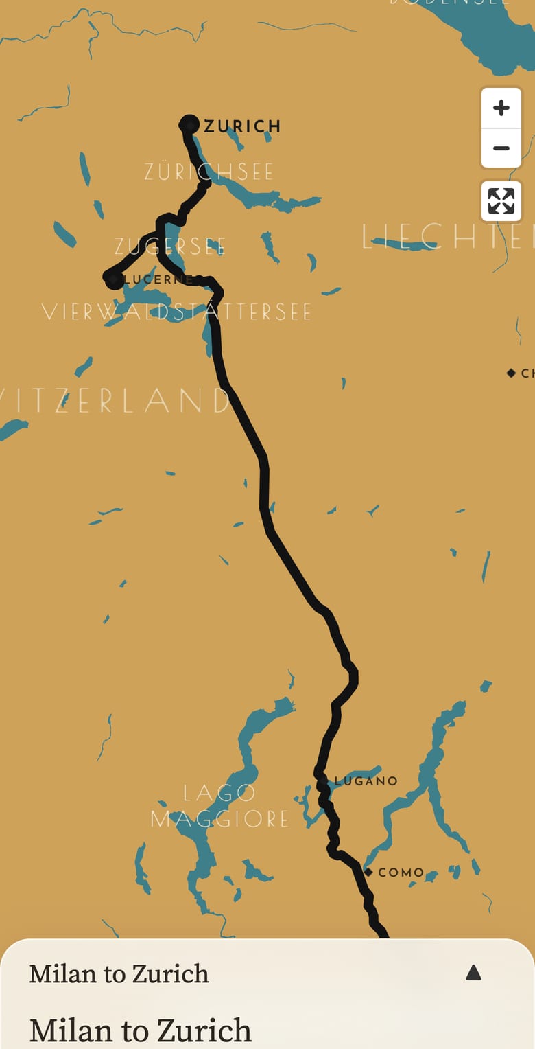
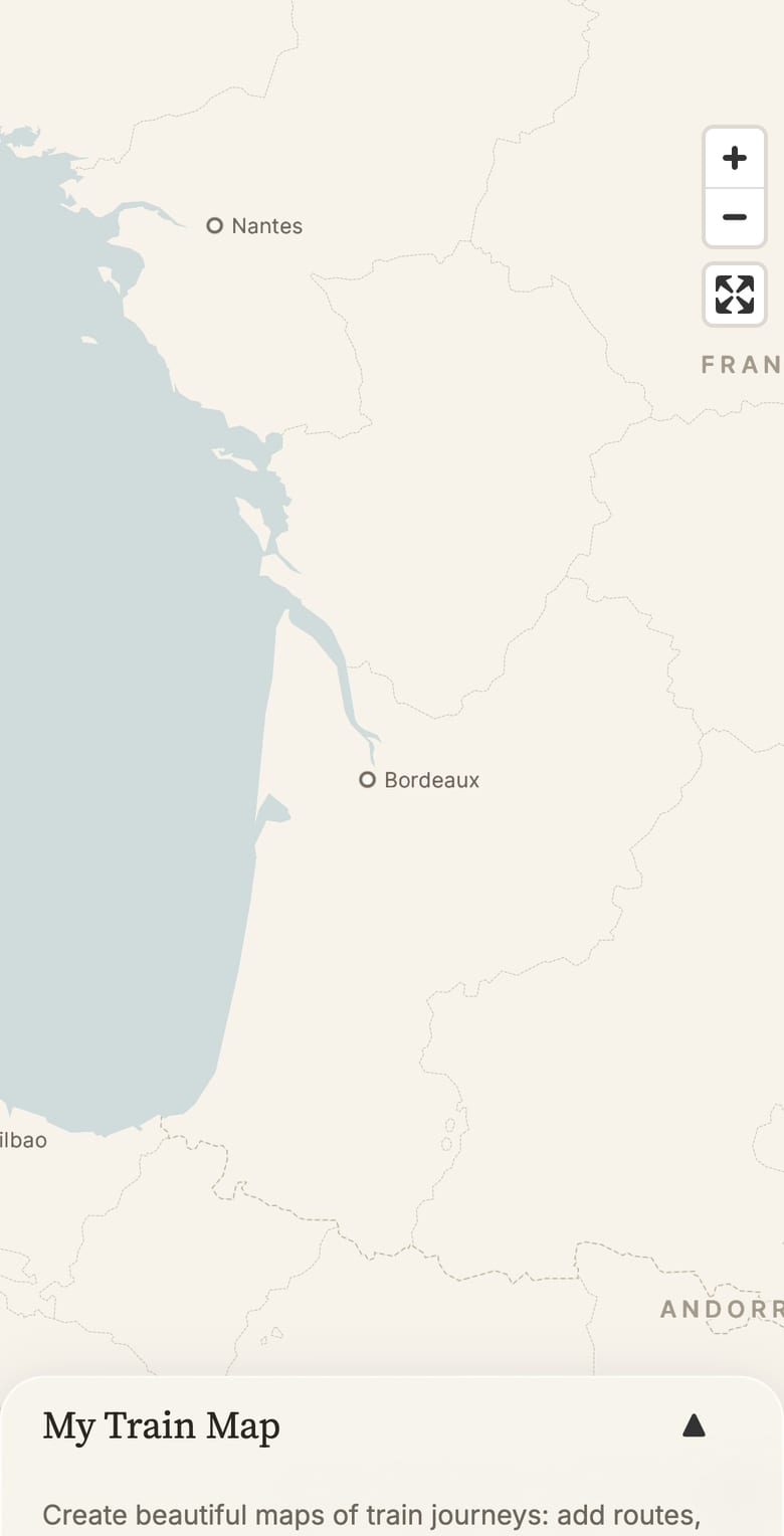
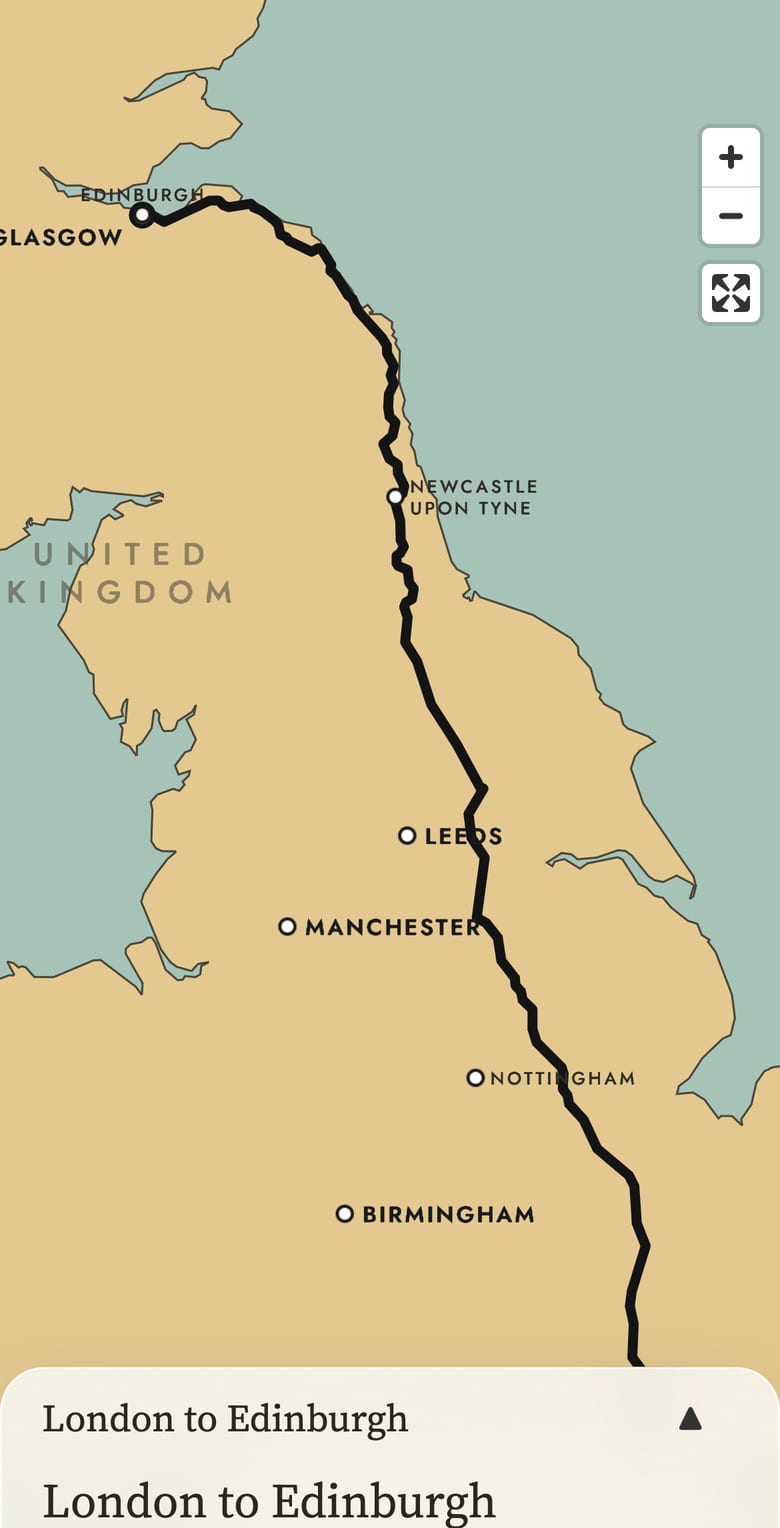
An opaque paper panel with a faint grain, a hairline edge and a soft shadow. Over SJ's orange and Signal's yellow it stays the same colour. The Classic maps show through only at the rounded edge.
07Moving around
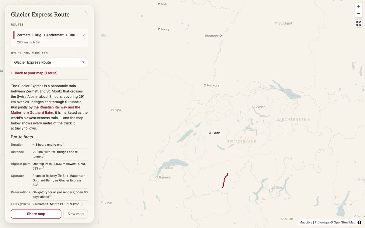
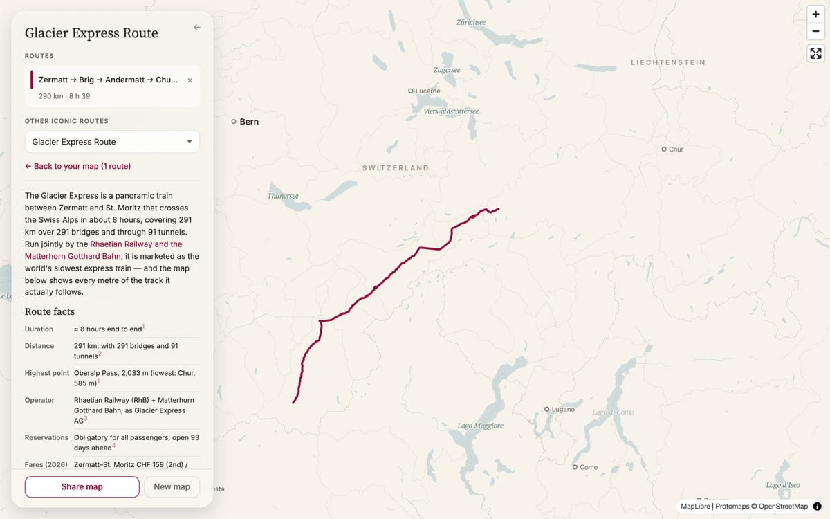
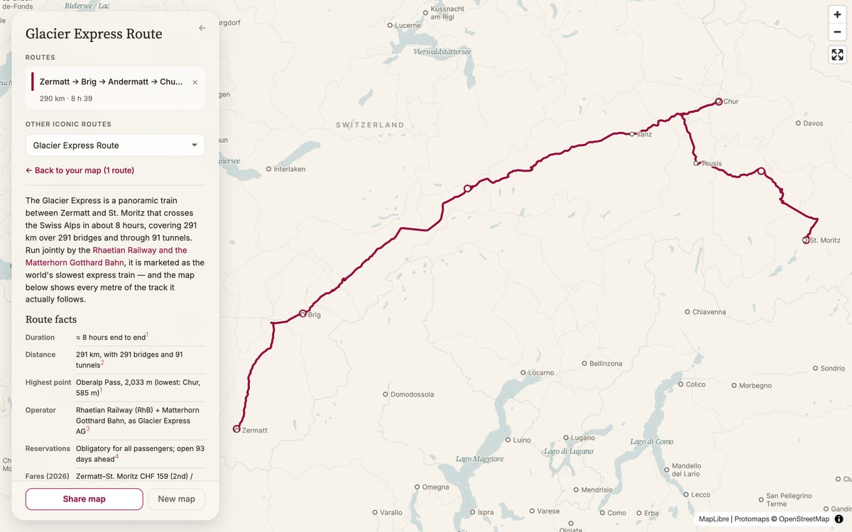
Open an iconic route and nothing reloads. The panel changes in place and the map glides from wherever it was to the route. Back and forward work as you'd expect, and your own map waits for you.
08The intro
Before you draw anything, a train wanders Europe on the home page. Each leg starts where the last one ended. When it reaches a town, the map's own name for it eases into the route's colour while it waits, and back as it leaves.
09Sharing
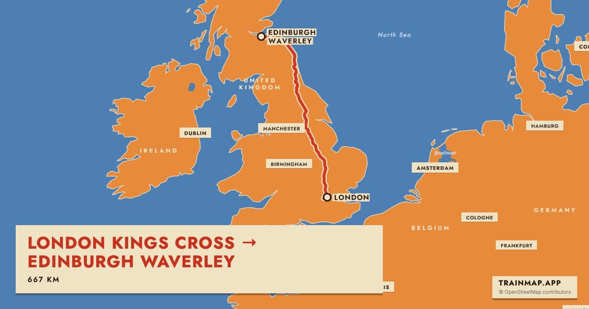
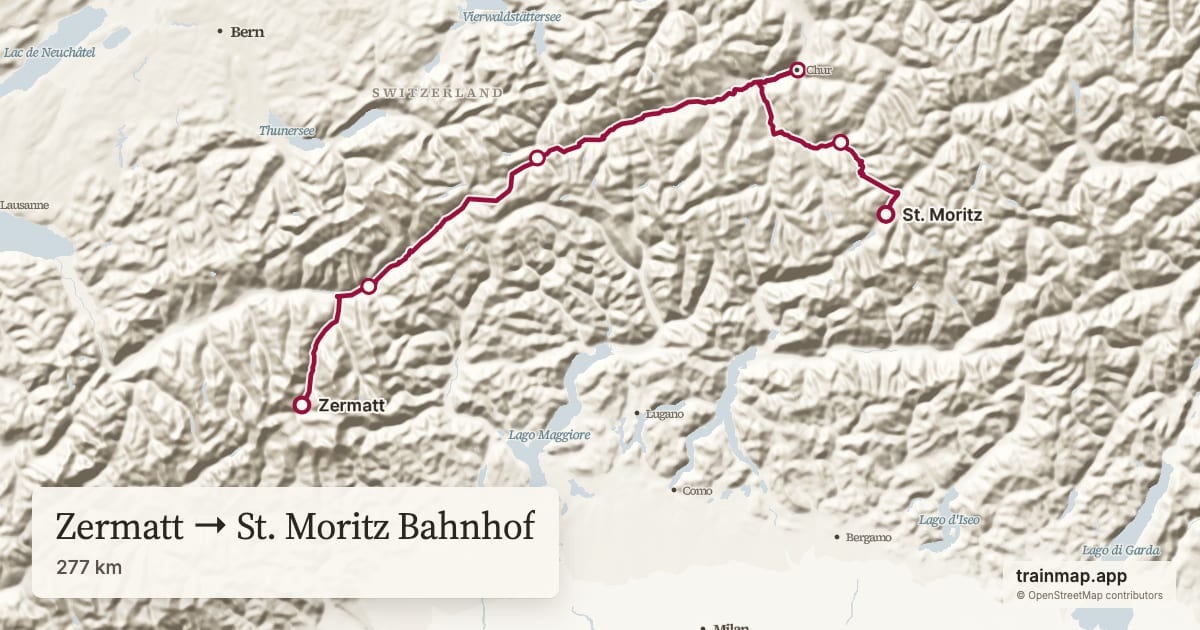
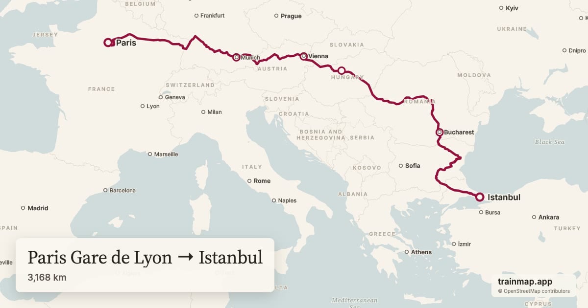
Share a map and the link preview shows that map, in the style you chose, with its stations and distance. It used to show the same trainmap cover for every map.
10Formats
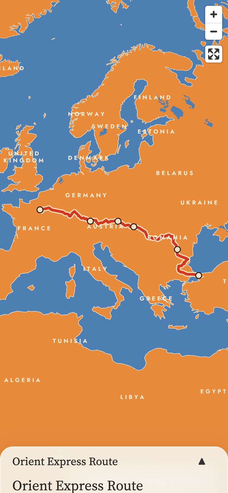
The same map fills a chat preview, a laptop, a phone and a printed poster. Each frame gets its own layout, not a crop of another.
11Under the hood
No outside map company in the loop. The tiles, fonts, markers, terrain and share cards all come from services we run, on hosting that costs nothing extra.
12Where it comes from
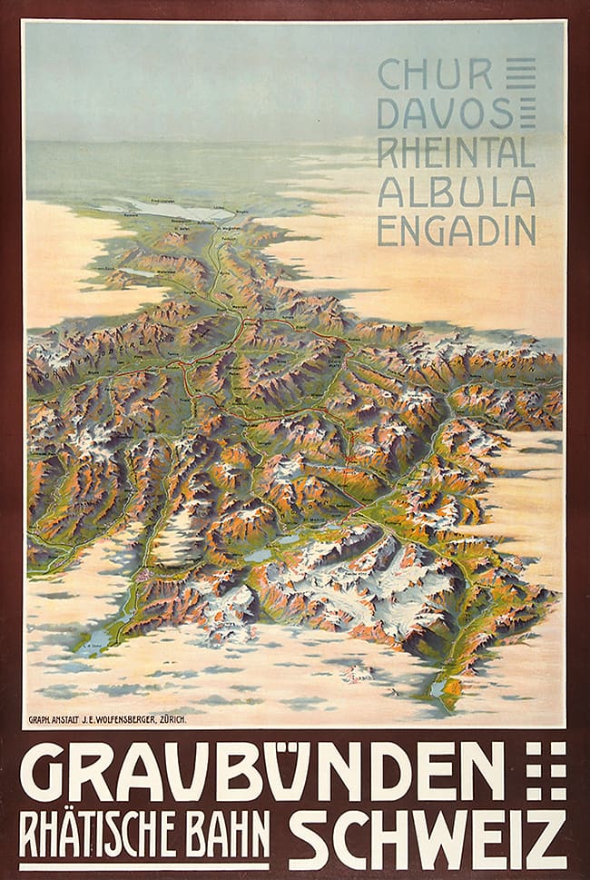
The Classic styles are redrawn from real railway maps and posters. We studied more than thirty of them from across Europe, America, Australia and Japan.
Trainmap v2
Everything here is Trainmap as it is today. Draw a route, switch between the twelve maps, share it.
Open Trainmap ↗Map data © OpenStreetMap contributors, via Protomaps. Elevation: EU-DEM (Copernicus), USGS, NOAA and others. Map renderer: MapLibre GL JS. Typefaces: Inter, Source Serif 4, Jost, Josefin Sans and Poiret One (SIL Open Font License). Posters from Wikimedia Commons. Trainmap · About · Privacy